Incarico per esecuzione di indagini topografiche, batimetriche, geofisiche e geognostiche nel tratto di litorale tra il porto e il fiume Chorokee.
Execution of topographic, bathymetric and geotechnical investigations at Batumi coastal area, between the port and the Chorokee river.

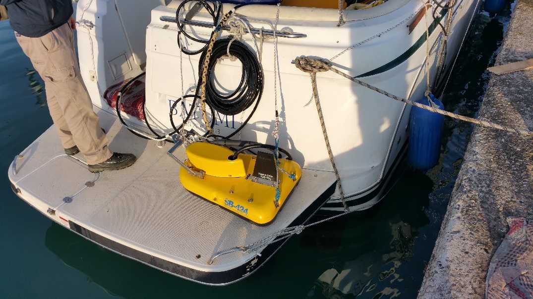
Esecuzione di indagini batimetriche lungo la zona costiera mediante ecoscandaglio singlebeam a doppia frequenza, compensatore TSS e sistema di posizionamento DGPS RTK, sonde CTD
Bathymetric survey in the coastal area with dual frequencies singlebeam echosounder, TSS motion compensator, DGPS RTK positioning system and CTD probes

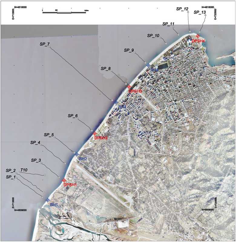
Esecuzione di rilievi geofisici mediante Subbottom Profiler lungo transetti perpendicolari alla costa
Geophysical survey with subbottom profiler along runlines perpendicular to coastline
Esecuzione di carotaggi lungo le medesime linee di indagine geofisiche
Execution of boreholes correlated with the same runlines of the geophysical survey
Prelievo di campioni con benna Van Veen, dove possibile, e prelievi diretti con sommozzatore
Sediment samplings with Van Veen Grab and diver support
Rilievo topografico della linea di costa tra il Porto e il fiume Chorokee con tecniche DGPS RTK integrate con voli da drone
Topographic survey of the coastline between port and Chorokee River with DGPS RTK methodology integrated with UAV flights.


Redazione di planimetrie topobatimetriche e a curve isopache, profile topo-batimetrici e geofisici e report geologico avanzato
Restitution of topographic and bathymetric plans, isopach plan, profiles and advanced geological reporting
Torna ai progetti