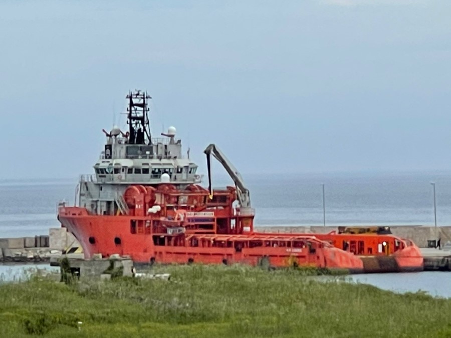
Il progetto MONITA è un cavo sottomarino che collega Pescara (Italia) e Budva (Montenegro), fornito e installato da Prysmian per conto di Terna Rete Italia.
Il sistema comprende cavi di potenza per una lunghezza di 421km che collegano le due nazioni, cavi anodo per circa 10km sono stati installati in Italia e cavi catodo sono stati installati in Montenegro per circa 7km.Un cavo di fibra ottica sarà installato nell'estate 2021 ed è l'oggetto delle indagini del presente progetto.
Il lavoro è iniziato nel aprile 2021 e completato nel maggio 2021.
The MONITA project is a submarine cable link between Italy (Pescara) and Montenegro (Jaz) supplied and installed by Prysmian for Terna Rete Italia.
The system comprises power cables of approximately 421km who connects the two countries, Anodes cables of approximately 10km have been installed in Italy, andcathodes cables of 7km have been installed in Montenegro
A Fiber Optical cable will be installed in summer 2021 between Italy and Montenegro
The job started in april 2021 and completed in may 2021.
Allo scopo di georiferire accuratamente il DP Vessel, grapnel e il ROV è stato eseguita una calibrazione molto accurata:
• gli offset relativi a bordo del DP Vessel sono stati rilevati con Total Station e accuratezza migliore di 2cm
• La calibrazione dell'heading è stata eseguita con metodo GNSS cinematico, installando contemporaneamente 5 ricevitori GNSS TOPCON HIPER-V con il DP vessel ormeggiato a Otranto
• Accuratezza Heading complessiva è risultata migliore di 0.05°
• Per il posizionamento di backup del grappino e ROV è stato installato un USBL system SONARDYNE RANGER PRO
• Calcoli baseline, verifiche, reporting della calibrazione
In order to accurately georeferenced DP vessel, grapnel and ROV an high accuracy calibration survey has been performed:
• Relative offsets onboard DP Vessel have been surveyed with Total Station to an accuracy better than 2cm
• Heading calibration has been performed with GNSS kinemtatin methodology, by installing 5 GNSS receivers TOPCON HIPER-V onboard the DP Vessel, moored in Otranto
• Overall Heading accuracy resulted better than 0.05°
• As backup positioning for grapnel and ROV, an USBL system SONARDYNE RANGER PRO has been installed and calibrated
• Baseline computations, calibration reporting
• Il posizionamento del grappino in realtime è stato eseguito con algoritmo TELEDYNE PDS basato su computazione della catenaria
• Il backup del posizionamento grappino è stato realizzato mediante USBL beacon installato sulla vertical del grappino
• Il DP Vessel è stato equipaggiato con APPLANIX POS MV e correzione DGPS RTK tipo FUGRO Marinestar G4 (accuratezza migliore di 10cm)
• Per 15 giorni, 24 ore al giorno, combinando i dati da positioning, heading, cable lenght, USBL, cable tension meter si è proceduto al grappinaggio lungo la route di progetto
• The realtime positioning of the grapnel has been performed with TELEDYNE PDS algorythm base on catenary computation as primary source
• the backup positioning of the grapnel has been realized by installing and USBL beacon on the vertical of the grapnel
• The P DP Vessel has been equipped with APPLANIX POS MV and DGPS RTK correction FUGRO Marinestar G4 (accuracy better than 10cm)
• For 15 days, the combination of positioning, heading, cable lenght, cable tension meter and USBL allowed accurate pre-lay grapnelling of the design route


 Torna ai progetti