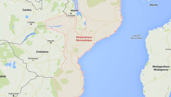
Data gathering and surveys for the evaluation of coastal dynamics and onshore geomorphologic study of the gas Central Processing Facility planning area.
Topographic, bathymetric, UAV surveys and hydrologic investigations of the Port Area.
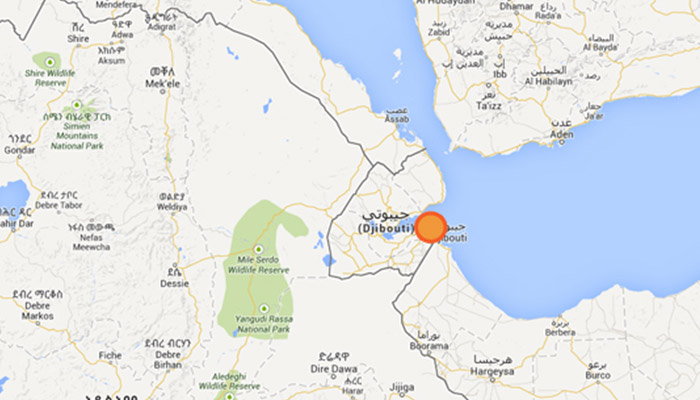
Topographic, bathymetric, geophysics surveys and geognostic investigations in the coastal area between Damejog and Loyada, Republic of Djibouti
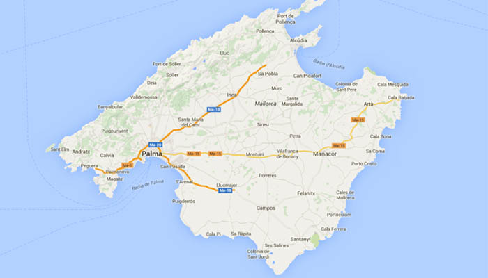
Execution of high resolution bathymetric survey with multibeam technology along cable laying trench between Mallorca and Minorca islands.
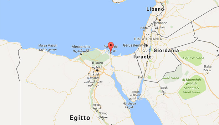
Zohr Development Project – Nearshore geophysics and topographic surveys for Flare Jetty Project, at Port Said, Egypt

Project to develop new 400 kV cable loop circuit. Deployment of underwater cable connection Hidd – Shamal Al Fateh. Positioning, dreding, jetting services and assistance
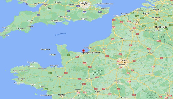
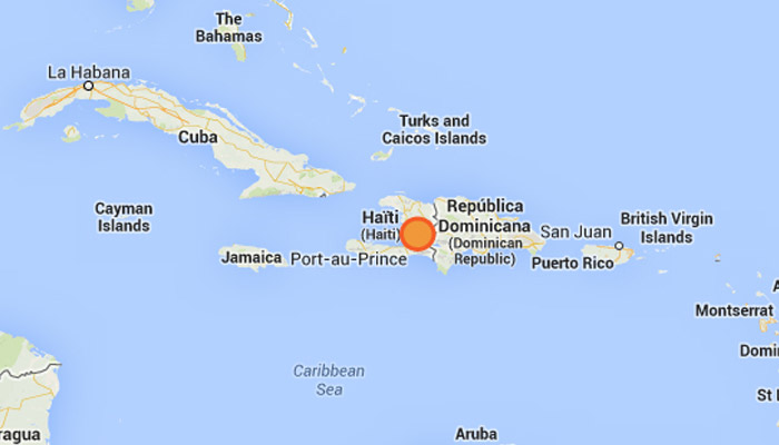
IFA2 French Nearshore Remedial. Realtime monitoring and engineering assistance to the remedial activities

Remedial works on Submarine Electrodes Cables. Realtime monitoring and engineering assistance to the remedial activities
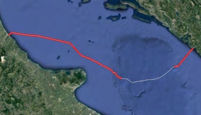
MONITA Project. Survey activities for pre-lay grapnelling of the Fiber Optic cable: realtime positioning, ROV inspections along a 421km long route, in a water depth between 100 and 800m

MONITA Project. MBES survey and UXO investigations with magnetometer installed onboard ROV along the approaching corridor of the Fiber Optic cable, in a water depth from 5m to 52m